
En este sitio podrás conocer el proyecto MAP. Este proyecto inició con el diseño y construcción de drones que pudieran satisfacer las necesidades de experimentar con diferente sensores remotos con potencial en la investigación arqueológica. En particular, dado que sus recorridos de mapeo comúnmente implican excursiones en lugares alejados y de difícil acceso, el Dr. Gutiérrez ha promovido la adquisición de sensores remotos portables por usuarios poco experimentados [Sitio en Inglés].
Da click aquí o en la imagen para visitarlo.
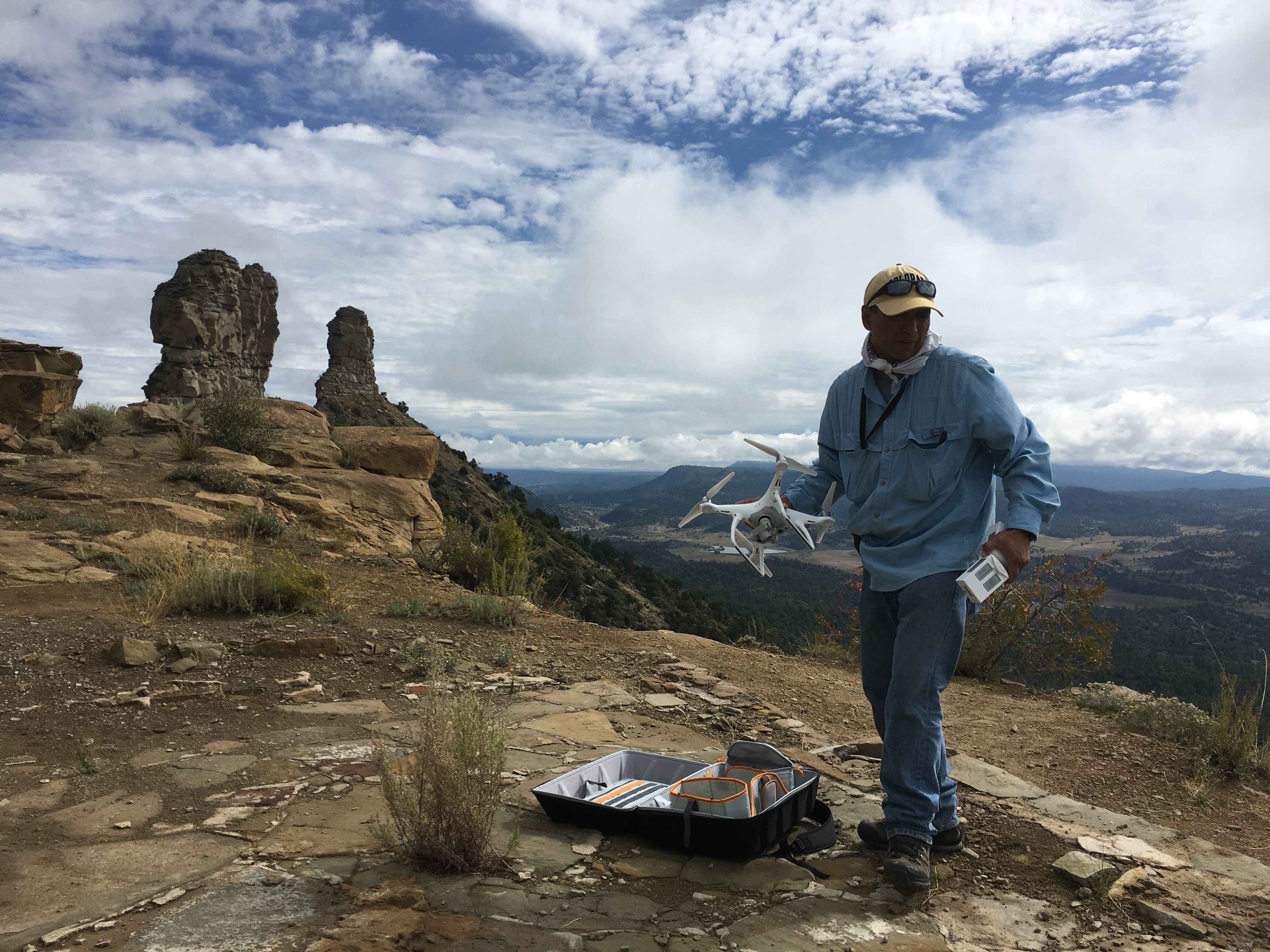
Beyond technical applications of the UAV platform, however, the primary goal of Project Map is to develop and streamline methodologies for efficient and ethical uses of drones in all fields of the Arts and Sciences. It looks for new questions social scientists can address that were impossible to attempt without the point of view provided by drones.
With the passing of time comes the natural and purposeful degradation of all human made structures and objects. As a result, cultural heritage management becomes important in order to document, share and learn from significant cultural assets, both physical and intangible.
The use of laser mapping systems to create 3D documentation of archaeological sites has grown significantly in the past 5 years. Project MAP integrates terrestrial and mobile laser mapping (LIDAR) data with UAS photogrammetry data to create detailed images to document, study and share critical historical sites.